Saturday, July 23, 2016

Hike 2016.022 -- Mouth of Mill Creek Canyon and Oak Glen

Hiked Friday, May 6. Call it six miles for the day. This one is over two months ago. Several hikes since then, but haven't had time to get the photos resized, selected, and uploaded, never mind actually writing the hike up. Also, there was a streak where it seemed like every time I tried posting from home, my stupid computer started downloading updates, running security scans, or otherwise moving at an astonishingly slow rate. This morning, I'm sitting at a Toyota dealership, waiting for my car to be serviced, so I'm using their computer. I've actually written several posts from this computer over the past few years. They have a fancy coffee maker with complementary coffee. Still going to keep it short, to try to finish this today.
These were from a wonderfully overcast, slightly drizzly day, which seems to be the best time to visit Oak Glen, anyway. I seem to manage a lot of hikes there under such conditions.
I don't recall what my original plan might have been. I'm sure I planned some sort of hike before heading up to Oak Glen, just to get some extra steps in. Could have been I just needed to use the restroom as I drove by the Forest Service visitor center at the mouth of Mill Creek. Or it's possible I saw the fading yellow blossoms of many, many flowers. What ever it was, I stopped at the VC, and walked across the highway.
Trivia time: It's called Mill Creek Canyon because this was the site of the first saw mill in the San Bernardino Mountains.

At the opening of most canyons coming out of the local mountains, you'll find plenty of evidence of occasional, torrential floods. Lots of big boulders, piled upon sandy or gravelly alluvial fans. This one was no exception. Still quite a lot of wildflowers, even though it was already getting late in the season. The yellow flowers that had attracted my attention, however, were past peak. I'll have to try coming back here some time in mid-April.
This makes the soil pretty porous, and I think a lot of wildflowers and cactus like the fast-draining, yet frequently inundated soil.
Some flowers were pretty common, including the past-peak yellow flowers, the beaver tail, fillaree, Canterbury bell, and blue dicks.
On the other hand, there were some flowers I saw at only one point in my Mill Creek Hike. I only saw one set of lupine, for example.
And I only saw one patch of blue larkspur.
And one set of mariposa lily.
I walked in a drizzle for part of the way. The sky was dark and looked to threaten a downpour. Maybe that made things more exciting, just thinking I might have to make a dash back to the car. But the rain never opened up.
Got some nice, dramatic shots of the gathering storm.

Returned to the car after wandering maybe 1 1/2 miles or so, all around the flood plain. Then got back to the car, and drove on up to Oak Glen.
If you search through my blog, you'll find many visits to Oak Glen. I love their massive apple pies. The addition and repeated expansions of the Wildlands Conservancy trails at Oak Glen Preserve just make the trip a better bonus.
Many flowers in their more manicured gardens, including that columbine, back up a shot. Some apple trees right near the trail, too, so I took a shot of some apple blossoms. I'll be back in the fall to eat the result of those blossoms. ;D
There are up to two ponds in their upper preserve area, adjacent to their farm. The one pictured here and in the next shot are the upper pond. It's a seasonal, vernal pool. Fills with the rains, then turns to a meadow by late spring.
On this day, recent rains had the pool full, and waterfowl were taking advantage of the water feature.
After looping around the upper and lower ponds (looks like I didn't upload any shots of the lower pond here, but I've pictured it many times, before. Guess when I was reviewing this day's shots, I determined that nothing I had was better than other shots I've posted of it, before.

Heading south from the lower pond, the wide trail takes you under some impressive oak boughs, which I also photograph pretty much every time I go by.
The one thing you don't get to do on a drizzly day is walk the boardwalk. So I just went down this "stream" trail, and I think I just went to the bottom, then retraced my steps back up. Don't think I detoured up the more easterly trail, that runs through a developed park. Some shots from that park are in this post, from a fall trip.

Here's what some of those same places look like without clouds.

See what I mean? It's nice on a clear day, but it's magical with some clouds.
Oak Glen, in winter, here.

Late spring, here.
And, a few weeks earlier, here.
Okay, that's it for now. Hoping to catch up on my posts, although, obviously, I've been saying that for years!

Monday, July 4, 2016

Hike 2016.30B -- Drive from North Rim, Grand Canyon National Park, and Pipe Springs National Monument, AZ

Still ridiculously behind in hiking write-ups, although quite a lot of my recent hikes were covering old ground, so I'm in no hurry to blog those. But even just for the new or relatively rarely-done hikes, I'm behind in those, too. This one, for example, is now about one month old.
Hiked Sunday, June 5. 1.5 miles. I woke up early on Sunday morning. After a late night doing astronomy outreach on the North Rim, I got to bed about 1am. It was an unseasonably warm evening, so I spent the observing period in just jeans and a long sleeved shirt. Slept that way, too, in a car, and without a sleeping bag. Finally, somewhere around 4am, it was cold enough to require me to pull a jacket over myself. Still, for early June, this was unusually warm.
Got out of the car around 5am, slowly got my stuff together and repacked the car, then drove back up to the North Rim to watch the early morning sun light up the canyon after sunrise. Probably 1/2 mile to 3/4 of a mile just going from the car to the rim and back. Also went to the lookout just south and west of the lodge.
I kind of wanted to take another hike, but I knew I had a really long drive ahead of me -- from the North Rim all the way back to the Los Angeles Area.
It's supposed to take about nine hours for that drive, but, being a Sunday afternoon, I-15, from Las Vegas to Los Angeles is going to add to that. Fortunately, being the week after Memorial Day, the traffic was a little less on other Sundays. Still added 30-45 minutes to the drive, though.

Long before I got to there, however, I had the drive from the North Rim to Las Vegas to make. From the North Rim, Grand Canyon National Park, once you get a bit away from the rim, there's a pretty substantial meadow complex. Not sure why it's meadow and not covered in forest, like the land around. Perhaps had I stopped to read some of the informational placards along the way? ;D
On the drive in, the meadow was home to a herd of bison. No good shots of tham, unfortunately.

On the way out, the meadow was home to a small herd of deer, and multiple singlets and doublets of deer. A few were right on the side of the road. Need to take some care driving to make sure you don't hit any wildlife!

About two hours from the Rim, and well outside the park, is Ppe Springs National Monument. I had passed it on the way in, and figured I'd like stop on the way out, if time permitted.

It was crazy hot this weekend, so I knew I wouldn't do much walking later in the drive home. But, with it still only about 8:30am as I reached Pipe Springs National Monument, a short walk was going to be a perfect break.

The Monument is on the edge of the small town of Kaibab, AZ, along highway AZ-389. It's also adjacent to the Kaibab Band of Paiute Indian Reservation. There's a Chevron Station there that, on the day I drove through, had gasoline that was the cheapest I had seen along my entire drive, including St. George and Las Vegas.
The Monument is set against some nice, red buttes. Apparently, there's an imperme-able layer of rock beneath the butte, as ancient waters spring to the surface, here. That made the spot an ancient settlement in the pre-contact era, and an important stopping off point for early explorers and non-indigenous settlers in the area.
Finally, Brigham Young ordered the construction of what became known as Winsor Castle, directly over the springs. This became a regional stronghold for travelers across what is now known as the Arizona Strip. However, the Church of Jesus Christ of Latter-day Saints lost ownership of the land, due to tax claims resulting from the shrinking of the Utah Territory due to territory lost to the State of Nevada and the Arizona Territory.
Nonetheless, a later iteration of Church, government, and business leaders eventually brought the area into the National Park system. The first National Park Service Director, Stephen Mather, was instrumental in this expansion. The Union Pacific Railroad President, Carl Gray, Los Angeles Times founder Harry Chandler, Church President (at the time) Heber J. Grant, U.S. Senator William King, from Utah, are among the figures in the founding photo at the end of this post.
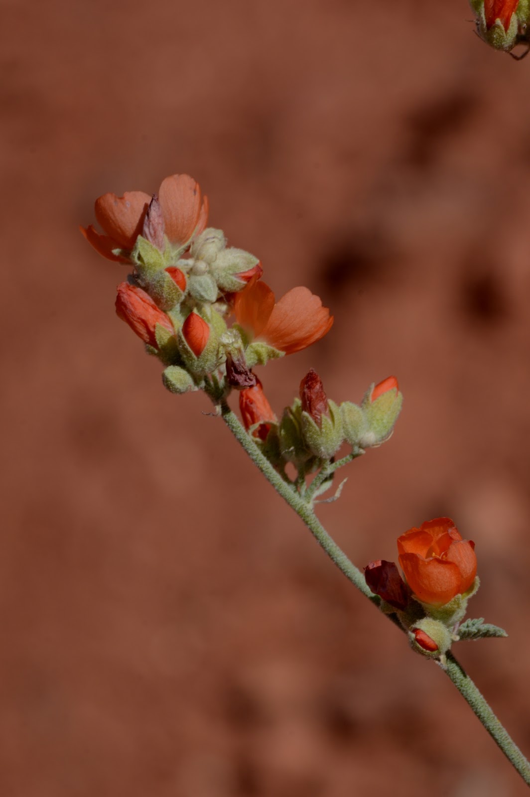
On the day of my hot, it was hot, but still spring, with many flowers in bloom. I enjoyed my short, 1 mile or so hike. The trail is given as a 1/2 mile hike. It's probably another 1/2 mile roundtrip from the parking lot to the trailhead. Also, well over a mile walking to and from the North Rim, earlier in the day. But just calling this hike 1.5 miles.
Despite the short hike, it can get hot down here. There's a fair change in altitude on the hike, as well. But, take it easy, maybe drink some, along the way, and you'll be fine, even on a hot day. Just remember to cool off some, before you leave!