
I had hiked the short Northshore Summit trail several times before. Most recently was last October, but I have been up there at least twice, previously. Can't find my older posts, though, so maybe I never blogged it? Odd.
Northshore Summit trailhead is one of the few formal hiking trailheads indicated on the Lake Mead hiking handouts. A link to the recreation area's designated hiking areas is here..


Turns out the "what I would see" was a lot more spectacular than I would have imagined.
From the top of the bluff, the trail continues another 1/4 mile or so, running along the edge of a steep dropoff. Portions of Bowl of Fire are visible to the north and northwest. Relatively flat alluvial plains stretch to the north and northeast, with that plain crisscrossed by flood gullies and washes of varying widths.
The ridge itself descends just a bit as it curves to the northeast. From that northeast end, a well-defined use trail made its way, yes, somewhat steeply in parts, but not dangerously steep, nor dangerously exposed, down into the alluvial plain, below. I followed the trail that way.
Note, by contrast, my AllTrails app indicates a turn left to stay on the "trail" some distance before that. I did not see a more apparent trail before "mine," however, so I don't know if the indicated trail has since been eroded away, or if the "trail" is just a sort of "suggested direction" thing that was drawn from above, but not actually walked. If the trail is still in use, it must require a pretty steep drop to get to.

After a spell, this wash ran into another, wider wash, and another small duck of rocks. I made a left, there.

More weaving within the wash, until a wide wash inflow came in from the right. A stack of rocks there indicated another turn, so I headed up this other wash leg. Stayed in this broad wash for nearly a mile, until I saw a narrow canyon, heading in from the left. I saw a marker some distance up this side canyon, so I thought this might be the way to go. In retrospect, looking at my completed AllTrails recording, I "should" have stayed in the main channel. Nonetheless, both paths would eventually lead to where I was heading.
My side canyon "ended" at a dry falls. It would have taken some skill to scale the actual drop. But, just a few yards before the falls, ways out of the canyon were easy to manage. As always, I attempted to stay on either sand or hard rock as I climbed out and about. Didn't want to damage any cryptobiotic soil, nor the plants, strugging to grow in small patches of soil among the sandstone.


So I retraced my steps, seeing familar waypoints along the way, and adding them to my AllTrails recording.
Incidentally, this time, I not only brought an external "spare" battery to recharge my phone, but I also brought a cord to plug it in! This let me record on AllTrails for the entire trip. On several previous trips, concern over draining my phone battery too quickly meant I only recorded the return leg. I will need to make a spare battery a regular part of my hiking gear.

As with all of my Blogspot posts, clicking on the photos in the posts produces a much large version of the picture to view. Much more detail to be seen, that way.
 According to AllTrails, my entire hike was 7.15 miles, with an elevation gain of 846 feet. I didn't venture far beyond the start of the red sandstone start of the Bowl of Fire. Had I gone another 1/2 mile or so further west, I'd have (in theory) crossed my January 10 hike. Two miles past that would have reached my hike from the previous day.
Northshore Summit trailhead has an actual parking area, and a vault toilet. That's in contrast to the Mile 18.2 trailhead used on the previous two hikes into Bowl of Fire, which had neither.

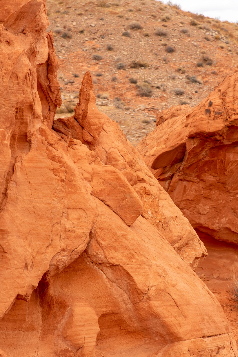
As I think I mentioned in a previous post, I had never even heard of "Bowl of Fire" until a few weeks ago. Since then, I've been seeing lots of posts about it on the Explorers of the Mojave Desert Facebook page. Not sure if it's become more widely known, or if I just never noticed those posts before I knew where it was. Either way, some pretty dramatic scenery, and a bit off the beaten path. On this hike, I didn't see any other hikers, once I got away from the trailhead. For four hours of hiking, that's pretty amazing. So, no problem maintaining proper social distancing.
Still some pretty extensive areas of Bowl of Fire I didn't get to. May try more of a thru-hike next time, with less time photographing, just to get a sample of the rest of the area.


No comments:
Post a Comment