Monday, June 23, 2025

Lower Clamshell Trail, Monrovia Hillside Preserve

Hiked June 8, 2025. Most recent hike (as of this writing), and the only the second "local" hike in a while.

A nearby friend posts frequently of he and his dog's walks or bikes (no dog!) up the trail. It's a fireroad, so plenty wide for non-technical biking, as well as hiking. Not sure if horses are also permitted. Dogs are permitted.

I may have made one hike on a different segment of the trail, a long, long time ago. Pretty sure this was the first time here. For me on this day, I parked near the end of Oakglade Drive in Monrovia. It's basically a continuation of North Canyon Blvd, if, instead of turning right, towards Monrovia Canyon Park, you continue "straight." Monrovia Canyon Park, btw, has been mostly closed due to fire and wind damage for the past five years, but is scheduled to reopen on June 27, 2025.

North Canyon Blvd, btw, does intersect with Foothill Blvd, about four blocks east of Myrtle (Old Town Monrovia), or seven blocks west of Mountain Ave. Most times I'm on Foothill, I manage to miss the sign for Monrovia Canyon Park, but, even without a sign for the park, there's a sign for the street, so a more careful driver (or one who has properly told their gps where to go) can find the street.

Where Oakglade turns into Ridgeside Drive, most of the area near the trailhead is either no parking, or resident parking (by permit), only. Once a week, it's also no parking for street sweeping. So, if you go check the signs to make sure you don't get ticketed.

On the day I hiked, it was pleasantly "June gloom," so overcast, even though it would warm up later in the day. That was helpful, since, at the time, I was on a course of antibiotics and was supposed to limit my sun exposure.

At the trailhead is a gate, with access permitted 6am - 9pm. Inside the gate, there's a big sign with a map, in case you want to take a picture and know where you can go from where you are. Also, there's a doggy poop bag dispenser, nearby.

Despite being June, there had only been a couple of hot days, so there were still quite a lot of flowers blooming, even at low altitude. I took pictures of most varieties I saw on this hike. Most, I can identify.

In order, it's lantana, California buckwheat, Spanish broom, California buckwheat, cliff aster, wild mustard, four times, then a big bull thistle, some sort of phacelia, a pair of morning glory, an unknown flower, a closs up of a cliff aster, then some fountain grass. At least, those are my guesses.

There is some signage along the way, which would indicate that the distance from the gate to the "Sunset Bench" is about 1 1/4 mile. Since you can't actually park at the gate, you'll likely walk 3 miles or more, roundtrip, from where you park to the bench and back.

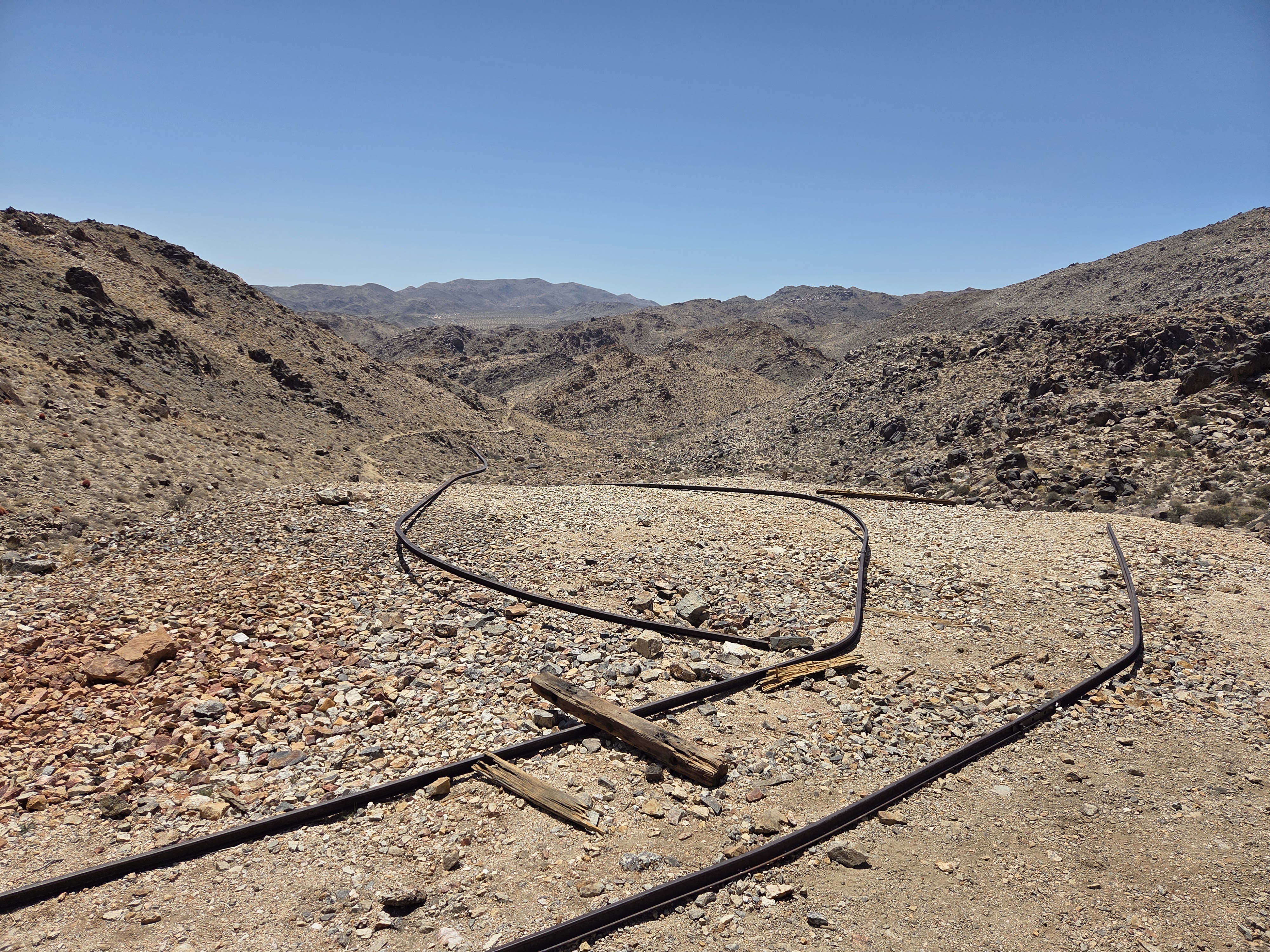
There were other hikers and a biker I passed, but it actually wasn't very crowded for the time. I'm sure it can get busier, but, on the little segment I walked, it was pleasant enough. Nothing dramatic along the way, but nice.

I walked a pretty small segment of the entire road/trail, so there's several return trips, possible. On the other hand, it's mostly south-facing, and would get pretty hot under the sun. Not sure when I'll manage a return trip, with at least one starting at an alternate access point.

That's about all I have to say on this hike, although I did end up adding several "last thoughts," below.

Meanwhile, in terms of coming attractions, I managed a long/short trip to Chaco Culture National Historic Park. That's going to produce at least a few posts over the next to or three weeks.

I say long/short trip, because I was away from home for four days, which is relatively long, for me. And there were two nine-hour driving days, around two days of 4-5 hours of driving, all for two nights of camping, numerous short hikes, and one really long day of multiple hikes.

Yep, lots of photos to sort and try to put together into coherent stories. Who knows? Might even manage more hikes before I finish blogging that trip!

Oh, returning to this hike, I should note that I read about a LOT of bear sightings in the neighborhoods of Monrovia that abut the mountains, and the other hillside communities. Never hear about bad encounters, but there are a LOT of bears in the area, and many are habituated to people and their trash cans. So if you already have bear spray, it might be a good idea to keep it handy, and maybe try to avoid carrying aromatic foods on your hike.

Two other notes: Yes, dogs are permitted. I sort of implied that at the top. I would image there's a standard six-foot leash requirement. Regardless of that, you'll want to keep your dogs (especially smaller dogs) close by, since wildlife encounters are very possible, either with the bears I just mentioned, or coyotes or cougars, as is typical in the San Gabriel Mountains.

The gate is open from 6am to 9pm, btw. The good news is, apparently (I haven't tested this, myself), if you are a little late getting out off the trail, you can still open the gate from the inside, even if it's locked, from the outside.

Thursday, June 12, 2025

Around North View Trail, JOTR

Hiked May 25, 2025. This was just a short evening hike. Originally planned for a little longer, but you can see by my shadow at the start of the hike that it was almost sunset by the time I got started. Even though there was no one checking payment at the entry kiosk, there was a line getting it. I think we were waiting for people who needed to use the restrooms by the west entry station to back out of their spaces.

Despite the late start, and a necessarily short hike, any sunset hike around Joshua Tree means pretty spectacular-looking rocks. I only covered around two miles, starting from the Maze Trailhead, and continuing mostly along the North View Trail, but with quite a bit of off-trail wandering, even in that short section.

Right near the start, I saw a boulder outcropping, and could see what looked like a "doorway," a large, flat boulder that provided a short tunnel. So I headed that way. Walked under the rock, then scrambled around this outcropping for a quite a while.

After that, I generally headed north, back to the trail. Wanted to get a view looking down into the towns of Joshua Tree and Yucca Valley.

The sun set well before I got my view. Figured I'd have another 45 minutes or so before it got seriously dark, though, so I wasn't in a huge hurry.

That gave me time to enjoy the warm afternoon light on a few more boulder piles, as I made my way north and west. As the sun dropped below the horizon, I could see a slice of the valley, and headed that way.

Still stopped for lots of pictures as I made my way towards the cliff. Well, more of a drop-off. Piles of rocks. Could probably be walked down, but it would take some picking.

The view down from the edge is the fifth shot from the last. I took quite a lot of shots near there, but I guess I only stuck one of them in this post.

Heading back, I continued snapping away. Came across a formation that looked a little like a sad bunny. That's the third from the bottom. It's a closeup of the fourth shot from the bottom.

I knew I hadn't traveled far, so I wasn't worried, even as the sky grew darker. Before long, I could see the highway, and the row of cars, mostly leaving. It was still Memorial Day weekend, and that was expected.

In addition, they're building a new entrance station, further into the park than the existing West entrance. The current one (from above the town of Joshua Tree) often has cars lined back, blocking driveways for residents near the entrance station.

The new station will have multiple kiosks, and a longer "runway," so the line should be shorter and move faster. But, at the moment, that means an area with uneven pavement, shifting lanes, and, of course, a lower speed limit.

The expected completion date is "early 2026," so construction will continue for a while. That could mean even longer lines than normal for the West entrance.

The North entrance (near Twentynine Palms) normall has no lines, so the line I encountered earlier that day (blogged in the previous post) was a little unusual. I'm not sure if that was just normal Memorial Day weekend traffic, or due to some people avoiding the West entrance.

Shot a Joshua tree, silhouetted against a darkening evening sky. Those trees are just so darn picturesque!

Probably not making it back here until some time in July. That'll be an astronomy-first trip, so I probably won't manage any morning hikes. Maybe something short, in the afternoon, but I'm not sure. The easiest short north-side hike is 49 Palms Oasis, and that one is closed in the summer, to let the desert wildlife have access to the water when it needs it most.

I support that plan. On a previous trip to 49 Palms in the summer, there were some people who just hung around taking selfies for hours at a time, just them and the palms. On the other side of the trail, a herd of 20 or so desert big horn were hovering. I'm sure they were waiting for a chance to get some water, but couldn't, because of the annoying selfie taker.

Took a short hike last weekend in the local (San Gabriel) mountains. Yeah, it's been a while since I've blogged much local. Still have one or two more Joshua Tree hikes from last year to blog, too. More hikes planned the next few hikes, so I'll have a backlog for a while.

Wednesday, June 4, 2025

Contact Mine, Joshua Tree National Park, CA

Hiked Sunday, May 25. I had slightly higher ambitions going into the weekend, but a minor medical thing meant I didn't have the inclination to try a longer test of the Yakima roof rack system, and limited my ability to take a longer set of hikes. But I did get a little break in time on the boots.

I first hiked Contact Mine back in 2015. I'm sure I've hiked it once or twice since then, but didn't find them in a quick search of my blog. It's possible I didn't manage to blog those other trips.

Sadly, the remains of the mining activity have been somewhat reduced in just those ten years since my first visit. The rail tracks have moved, and some of the machinery seemed missing.

It's still a nice, conveniently-located hike. This being Memorial Day weekend, I anticipated pretty good crowds on the main trails and roads. Contact Mine has the advantage of being just inside the North Entrance (which is usually much less crowded than the "West" entrance), and it's not one of the other major destinations in the Park, though better publicized now than it was when I first walked it.

There were about six other cars in the small lot when I got there. Saw three people hanging out in the parking lot, maybe 3-4 people on the way in, then maybe 8-10 people on the way out. Also, had a line of about a dozen cars at the entrance station as I arrived there, as I got a later start than I wanted.

Temperatures were in the low 80s when I started, and low 90s when I finished. Nice breeze, too.

The trail still starts along the broad wash, with occasional signs on poles, to assure you that you're on the right track. Eventually, you head up to the right (north). Some people go up or down the actual wash, but the higher route is probably easier going, walking on a solid surface rather than sand, although I've never actually walked up the wash to compare the difficulty.

Relatively dry year, so not a lot of wildflowers. A cactus was just starting to bloom, and a few tiny flowers were hugging the ground, as well. But that was about it.

In terms of wildlife, I saw one fair-sized chuckwalla. He's at the top of this post, and, again, in the second shot, which shows him (or her) admiring the landscape. I saw a few other lizards, but I only had my cell phone camera, so the longer ranged shots were pretty fuzzy.

Enjoyed the walk. On the way back, the alternate old dirt road diverged from the trail on several occasions. Scattered old cans and what not, in addition to the few pieces of larger machinery, up at the mine.

Alltrails gave my walking distance on this hike at just about four miles, roundtrip. Despite the proximity to the boundary, you do have a hill between you and Twentynine Palms for the entire hike, so you may not have regular cell phone coverage. My T-Mobile Starlink satellite texting icon showed it was activated, and I sent a few texts, just to try it out. Texts made it out and back in pretty good time, so it was nice to have the backup, in addition to the Personal Locator Beacon that I was carrying. Didn't need either on this hike, of course, but that's why you bring them: Back up!

Took a short hike that afternoon, which I'll probably blog, next. There are also a few Joshua Tree hikes from last year I need to blog, but I think I've already moved those pictures to my laptop, so that may take a while.