

According to the map, this would be about 5.1 miles, out and back, starting at the Juniper Flats backcountry board, and ending at an overlook into Fan Canyon. I was assuming a decent view into the Coachella Valley would be had.
From the West Entrance to Joshua Tree, turn right at Keys View Road, and proceed about one mile. The parking area is on the right.

There is no toilet at this backcountry board.
From the backcountry board parking area, there is a well-defined, no-longer open jeep trail that heads straight on out. Or, there's the actual trail, which starts at the other end of the parking lot, and heads east, before bending to the west.

Because the old road was more obvious, and easier to maintain social distance, I took the old jeep trail.
The trail is somewhat sandy in spots, but relatively level. By contrast, the trail, from what I could see, would be firmer, but required a slight gain in altitude. Couldn't actually see it, since I was below the trail's altitude, so I'm not sure how far away it went from the road. But I was satisfied with the scenery of my road route, and walked that way.

There are relatively few trail splits along the way, and each split I had to choose also had a sign. Some of the signs had a map. I also had my Trails Illustrated map, and the All Trails app on my phone. Having a backup, in addition to the signage, just provides a bit of redundancy, to reduce possible "Am I still on the right path?" anxiety.


The turn on to the Stubbe Springs Loop, towards the Fan Canyon overlook, was the less obvious of the options at that junction. Yes, there's a sign, there, but it's a narrow trail compared to the jeep trail I was on.
You zig-zag among the Joshua tree, climb a bit, then head up above a wash, with large, grass-covered, previously-burnt juniper/pinyon pine forest.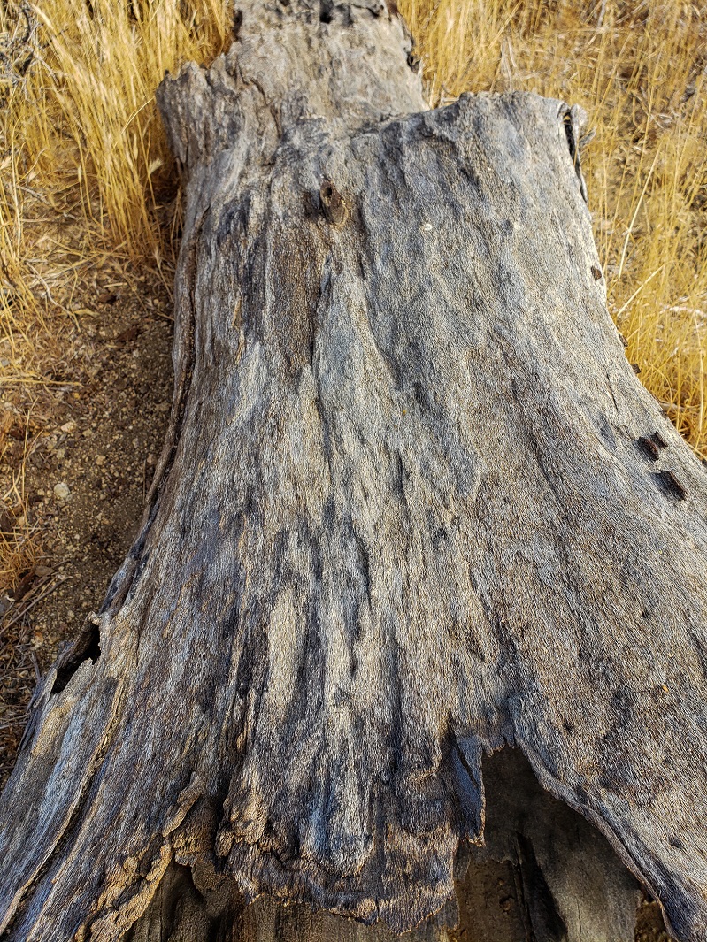
Slight incline out of the wash, and on to the edge of the Coachella Valley. There is no signed "end of trail," so you just get to the edge, and then decide if you want to go a bit left or right to look for a better view.
The canyon view is somewhat obstructed by various outcroppings, and the clouds that had not yet broken left the view grey. Still, not a bad end to the trail.
The clouds finally broke on the way back, and I warmed up, some.
The drive home was a slow one. I had forgotten that Sunday night drives back from the 10 almost always backed up until at least the truck scales, and sometimes until the 10/60 split. I filed away this information, and determined that future weekend trips, I'd limit myself to a shorter hike on Sunday, to beat the traffic back into town.


No comments:
Post a Comment